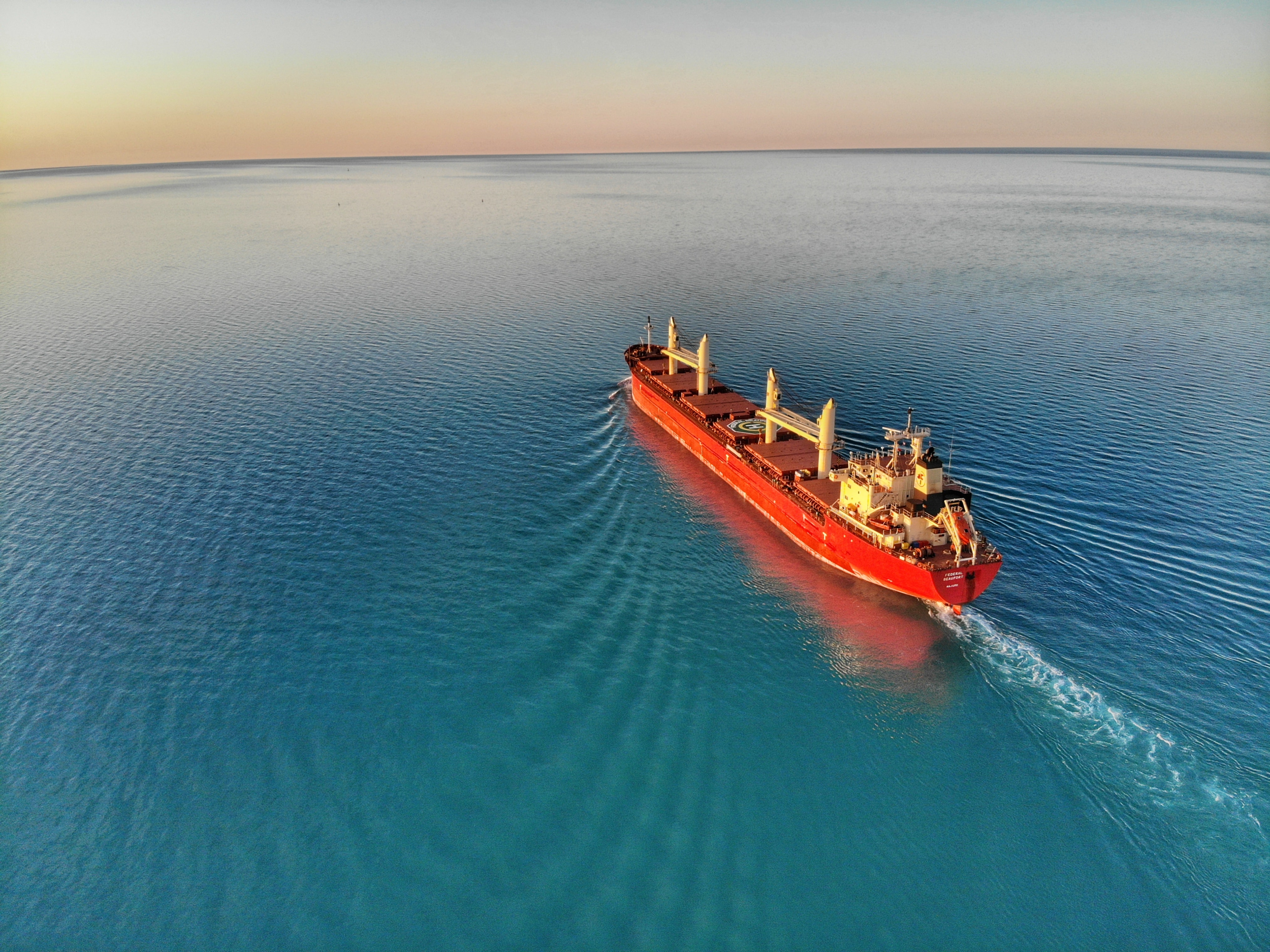
From new navigational systems to networks of floating buoys, technology is helping optimize shipping routes to lower the maritime industry’s carbon footprint.
This year, we expect marine shipping companies to reevaluate and reconfigure shipping routes around the world’s oceans. The decrease in maritime travel due to the pandemic in 2020 led some experts to suggest shortening supply chains to lessen the impact of future global catastrophes. The industry’s commitment to decarbonization increases the demand for better shipping routes that have a lower impact on the planet.
The best possible ship routes allow a vessel to travel safely while not wasting fuel moving at high speeds. Reassessing a shipping route map to optimize for these variables takes the right tools and software. These leading technologies are improving shipping route optimization by leaps and bounds.
What goes into planning a shipping route?
There are many factors that go into planning a shipping route. Ocean freight logistics are complicated by things like global weather forecasts, which can vary dramatically as weather systems change over the duration of the voyage. The size and type of ship also play a role in ship route planning.
“[F]or example, a Panamax bulk carrier or an ultra-large container ship in conditions of heavy weather are controlled very differently than [a] Handymax,” explained Marine Digital. “It is necessary to take into account loading conditions and cargo type. A vessel in ballast would operate differently from a loaded vessel, and a loaded vessel with sensitive cargo would need a less aggressive route than a route with more bulk cargo.”
The departure port and destination also play an obvious role in route planning, as does the required arrival time for container ships. But, perhaps the biggest factor is cost: time charter rates, fuel type, bunker prices, and speed inside and outside emission control areas are primary concerns for ocean freight logistics companies.
Because each of these factors can have a certain degree of variability, a route analyst typically provides the ship captain with three options before the journey begins. These options are:
– Option 1: the direct route that may or may not be most ideal, given that it does not account for weather events (like a storm) or unsafe areas of the ocean (e.g., pirate territories).
– Option 2: a route that accounts for any severe weather conditions that may contribute to arriving late and/or burning additional fuel.
– Option 3: a route that includes “slow-steaming periods” in which the ship can take advantage of fairer weather and run its engine at lower power levels to expend less fuel; the drawback is that it may arrive later than the other routes.
With these options logged, the navigation systems connect to the company server to provide updates in real-time as the ship embarks on its pre-selected route.
Tools to help optimize shipping routes
Advancements in technology have made it much easier to optimize marine shipping routes. The goal of most new tools and technologies is to help a ship navigate safely at the lowest possible fuel cost and time charter opportunity cost.

Wayfinder by Sofar Ocean approaches this challenge using the largest open-ocean network of weather sensors. The information collected from these sensors is assimilated into a global weather model, producing wave and swell forecasts that are 20% – 50% more accurate than NOAA and ECMWF. The Wayfinder platform optimizes the entire voyage by evaluating over 100 million route options in every calculation, using weather forecasts that are updated every six hours. Ocean freight logistics companies can plan a route that factors in not just the weather, but business metrics such as market impact, contract terms, and strategic initiatives (e.g. time charter index, demurrage, bunker prices, CO₂ targets).
Wayfinder is one of the most advanced products on the market, but there are others that focus on predicting and accounting for changing weather systems to optimize ship route planning. “Navi-Planner” of Tranzas, “PassageManager” of ChartCo, “Bon Voyage System” of StormGeo, “Ship Performance Optimization System” of MeteoGroup, “Commercial Marine Vessel Routing” of Jeppesen, Navtor are all services that offer regularly update routes that account for hydrometeorological information.
Another tool called Route Master, developed by CargoSmart, provides a database of past shipping routes and logged journeys to allow ocean freight logistics companies to search and compare routes from three months in the past out to six months into the future. It also can base route planning on a limited number of customized parameters, including transit times, reliability, cost, and carriers.
The tools are only as good as the data fed into them, which is why Wayfinder stands out. Systems of marine buoys can help provide better real-time data to inform a ship on its journey when a course correction is needed. Current information about waves, swell, and ocean currents give vessel operators the best possible chance to navigate safely while optimizing fuel efficiency. And, in addition to increasing voyage earnings, fuel-efficient routing also reduces greenhouse gas (GHG) emissions, supporting the latest GHG reduction strategy developed in 2018 by the International Maritime Organization.
From new navigational systems to networks of floating buoys, technology is helping optimize shipping routes to lower the maritime industry’s carbon footprint.
LegalReader thanks our friends at Sofar Ocean for permission to share this piece. The original is found here.


Join the conversation!